Never worry about battery life again
Technology will get you out of a lot of situations, but it’s no substitute for basic skills. Here’s the top five skills for navigation by bike.
Learn to read a map and compass and you’ll never need worry about battery life again.
Once you’ve worked out the navigation you’ll need somewhere to navigate round, try our 20 Best Mountain Bike Trails in the UK

1. Learn basic compass and map skills
Orientate your map by pointing the direction arrow due north on your map, then rotate the map and compass together, keeping them level, until the red magnetic arrow points north too. Now the ground around you should match the map and the direction of your trail should be obvious.

Break your route into legs.
2. Break the route down into bite-size chunks
This lets you you memorise the next section of your ride without having to keep stopping. Try the 4 Ds — direction, duration, distance, and description — to help you remember each leg. It’s important that the end of each leg is very recognisable and that you know what you are looking for when you get there, and what you will see if you go too far. You can even write a route card to use as a prompt if you really want to practise.

Measure your distances accurately.
3. Practice estimating distances
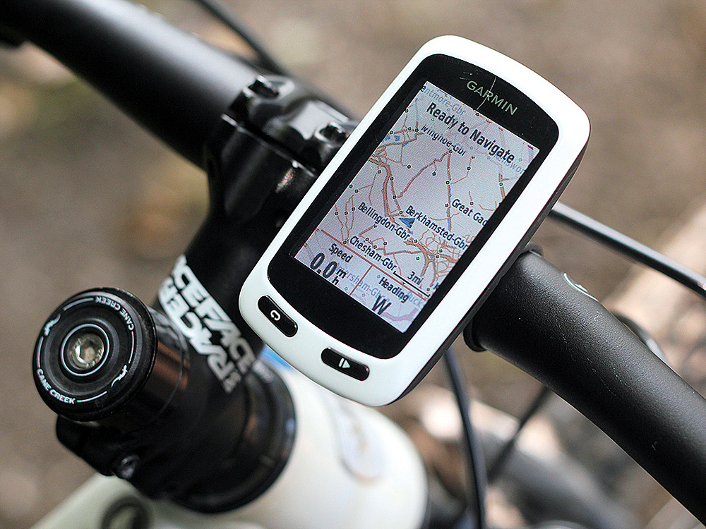
Guessing how far you’ve gone on a bike is really difficult. On a steep climb, 100 metres can feel like a mile, whereas on a fast descent, it’s the other way around. Practice at it, compare your guesses with a cycle computer or GPS, so you can work it out when you’re without the technology.

Learn to read contour lines and identify key features.
4. Learn to read contour lines
Contours run around hills joining all ground of an equal height. They can be used to tell you whether a trail goes up or down (crosses the lines) or is flat (runs along them). They can also tell you what shape the landscape should be and even what direction you are facing. Practise reading contour lines by orientating your map and comparing what you see on the ground with the paper representation. It’ll soon become second nature.

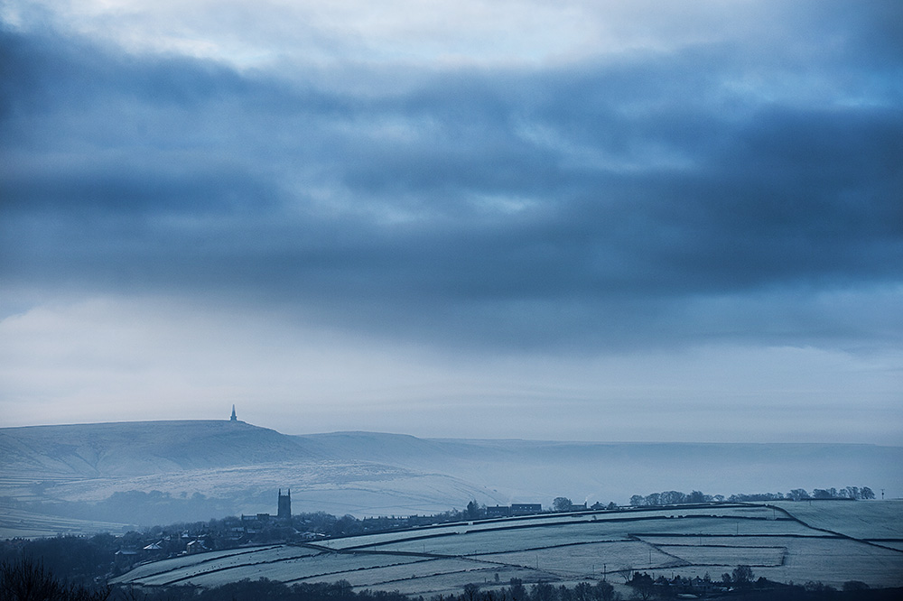
Try cross referencing features with their symbols on the map: the two spires here at Hebden Bridge can line up to pinpoint your position
Recognise key features
Use your map to identify landmarks you’ll see along the way. These can be anything from junctions and river crossings to huge cliffs, buildings, summits or saddles. Any point of interest will do, as long as you’ll know when you get there. These visual clues will confirm to you where you are and how you’re doing against your planned leg.


